

The Leitrim Way – Townland Names project
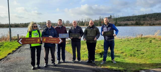

The Leitrim Way Management Committee is launching a new project for Leitrim’s National Waymarked Way which will help highlight the 54 unique Townlands areas the route passes through.
Over 400 bespoke signs will be added to the waymarker posts along the 56km route, highlighting to the user, in Irish and English, which townland they are currently passing through as they make their journey.
The project has been funded through grant aid from the Department of Rural and Community Development, as a once off recognition grant for the significant importance of walking trails have on our local communities.
The current Chairperson for The Leitrim Way Management Committee, Shay O'Connor, said “We are delighted to see this project come to life. It is important to acknowledge the individual local areas that The Leitrim Way crosses. We thank the department for their continued support of Leitrim’s Trails.”
Speaking on the project, Bryan Fennell, Rural Recreation Officer for Leitrim Development Company stated that this is a very unique project and will be highly beneficial when completed, as it will aid users with navigation, create awareness of Leitrim’s unique areas and help preserve locale names for the future generations.
The Leitrim Way Management Committee is comprised of key stakeholders of the route, including community reps for the areas the trail passes, Coillte, Waterways Ireland, Leitrim County Council, Leitrim Development Company and Mountain Meitheal, a volunteer trail building organisation who build and repair walking trails.
The Leitrim Way is the longest recreational trail in Leitrim, at 56km in length, it is classed as a strenuous grade trail and it stretches from Manorhamilton to Leitrim Village. It forms part of Irelands National Waymarked Ways Network.